6 Days in Port Stephens Paradise
As it turned out the freezing weather down south, (best snow season in years), helped make up our minds. Instead of working our way up the coast, we decided to start at Port Stephens and work our way back south from there. So two days after leaving the Mornington Peninsula, and an overnight stop at the Gundagai Hotel, we arrived at Nelson Bay, Port Stephens, booked into the Halifax Caravan Park and started planning our expedition of discovery.
As is always the case when arriving someplace new, you have no idea where you to go or what you should do to get the most out of your limited time at that location. The very next morning we set about getting some information and went straight to the headquarters of the NSW Marine Rescue in Port Stephens which is based on Nelson Head at the heritage classified inner lighthouse station.
OK, you might be thinking that’s an odd place to start but who better to speak to about the best and most popular boating places in and around the port which is actually two and a half times larger than Sydney Harbour. And, as it turned out, when we got to the Marine Rescue HQ there was a sign actually encouraging visitors to come up to the watch tower and talk to the volunteers.

On the northern side you will find ramps at Allworth and Karuah (on the Karuah River) and Winda Woppa, Hawks Nest and Tea Gardens (2 ramps). These four ramps are on the Myall River.
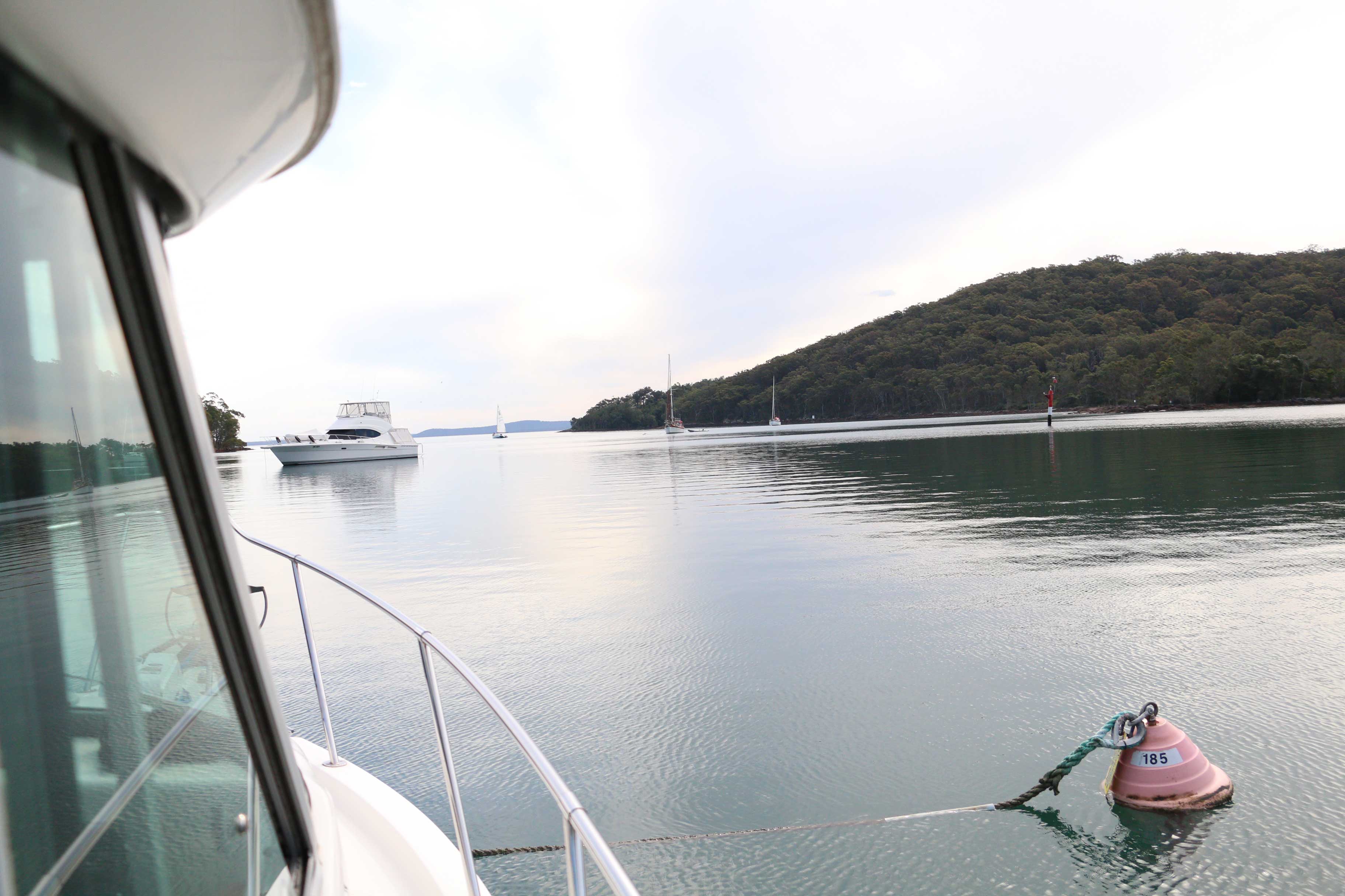
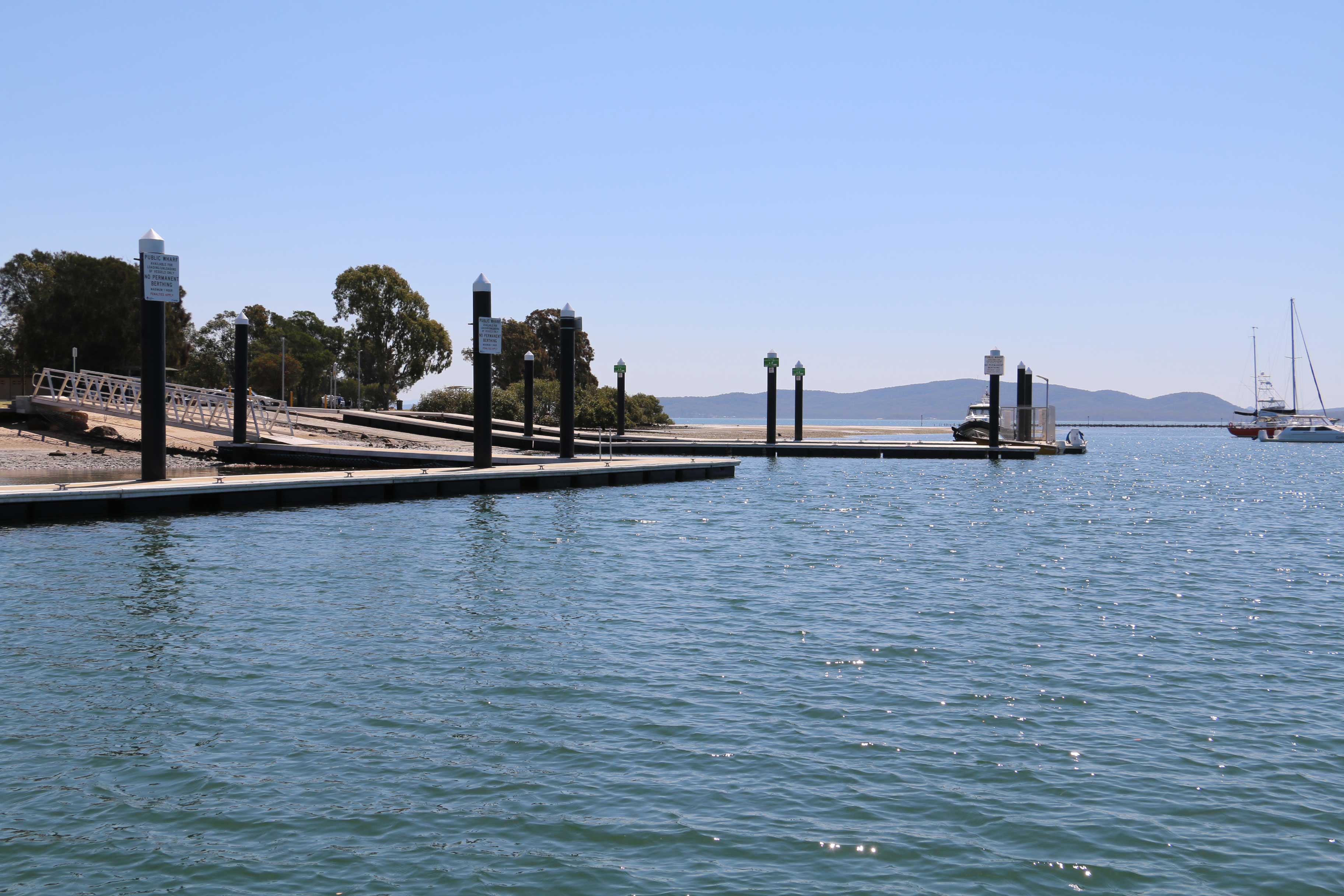
The boat ramp at Soldiers Point
After a late start leaving Soldiers Point we headed straight to Fame Cove which is on the northern side of the bay and is an excellent all wind anchorage with five permanent moorings available to whoever gets there first. Scattered throughout the Port Stephens waterways are moorings referred to as ‘courtesy moorings’ which can be used by anyone free of charge. They are pink which makes them easily identifiable as public moorings as opposed to private. The only problem with these moorings is that there is not enough of them.

How’s the serenity as the sun sets on Fame Cove
The next morning we had a choice; go offshore to Broughton Island or up the Myall River to check out Tea Gardens and Hawks Nest. The decision was made by the weather, or more particularly the swell which was dropping from a massive 6 metres to 2 over the following two days. After watching the Marine Rescue boys tow a yacht back from Broughton Island after the crew became completely incapacitated from sea sickness in the 6 metre swells, we opted for a nice quiet cruise up the Myall River.
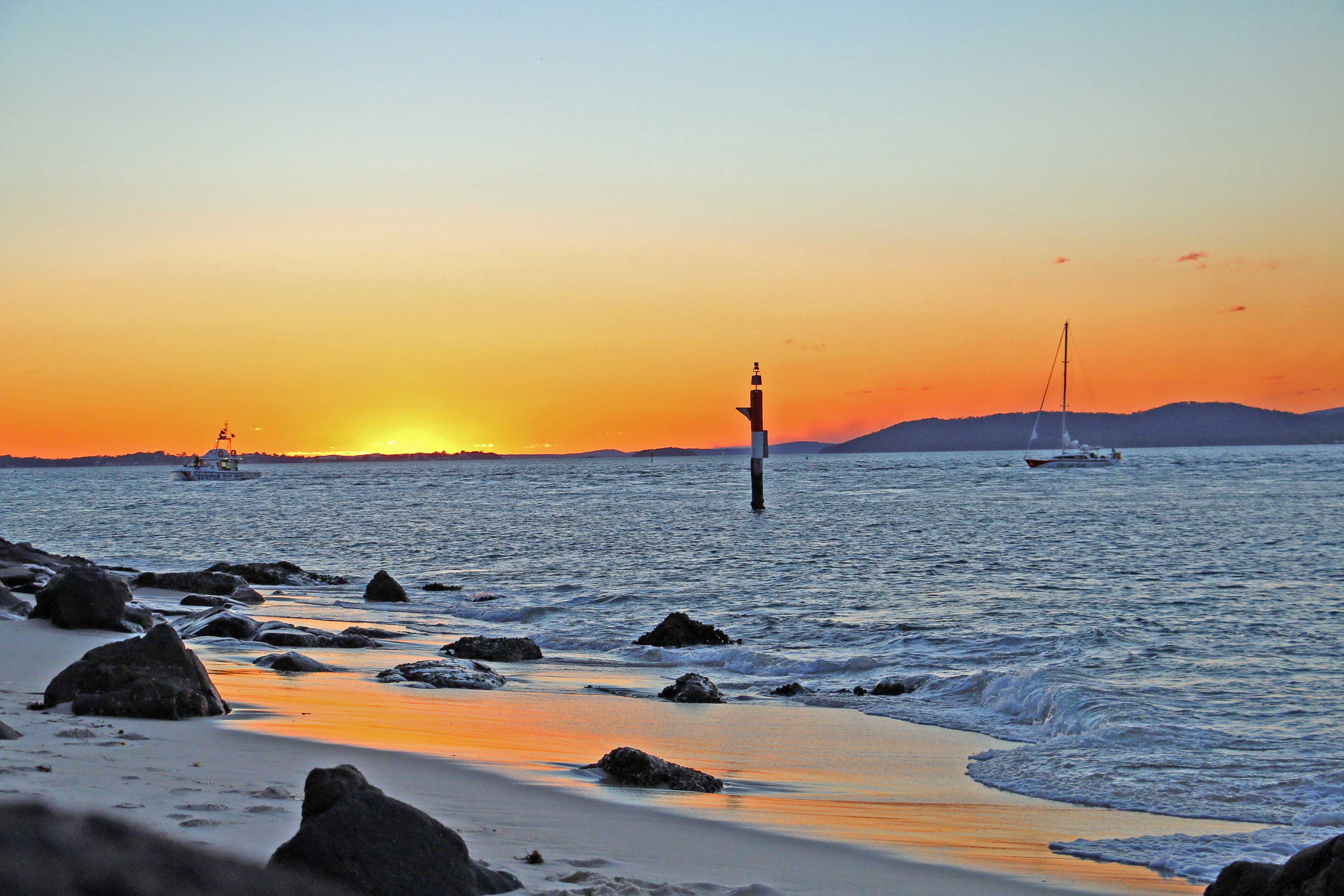
NSW Marine Rescue towing a boat back into port

After travelling for over one and a half hours and not seeing a soul, we came across a small wooden landing at a location called ‘Black Oaks’. Perfect for our overnight stop. We put our deck chairs on the small landing, opened the bar and watched the river change colour with the dying sunset. This place could be in the middle of nowhere, we didn’t see another person from the minute we left Tea Gardens to the minute we arrived back there the next day.


Unfortunately this location is part of the marine sanctuary which was very frustrating as fish splashed, jumped and slammed into the water around the boat all night!
Day 3
The next morning we had to decide whether we continued up the river to the Myall Lakes or went back to the bay and headed off shore. The swell had dropped to 2 metres and winds predicted at less than 15 knots all day so offshore we went. It was a glorious sunny day and after logging in with Marine Rescue we headed straight to Broughton Island which is 17 km north of the Port Stephens heads, about a half hour run at 25 knots. With the exception of some confused seas amongst the islands which seem to guard the entrance to Port Stephens we had a quick trip to Broughton Island and made our first stop Esmerelda Cove.
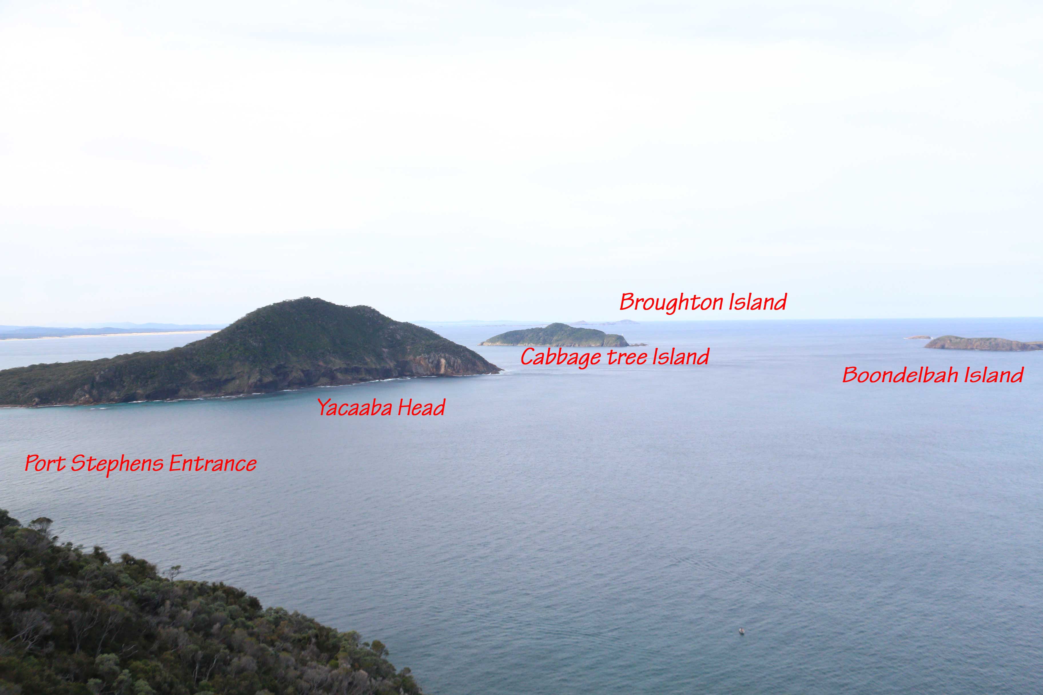
Islands guarding the heads at Port Stephens
There is a small group of fishing shacks on the beach at Esmerelda Cove. These huts appear to be in excellent condition and well maintained and it is no wonder because apparently if they are abandoned they are removed, never to be replaced. One particular hut had a large marlin painted on the outside, what a fantastic location to base your marlin fishing from!
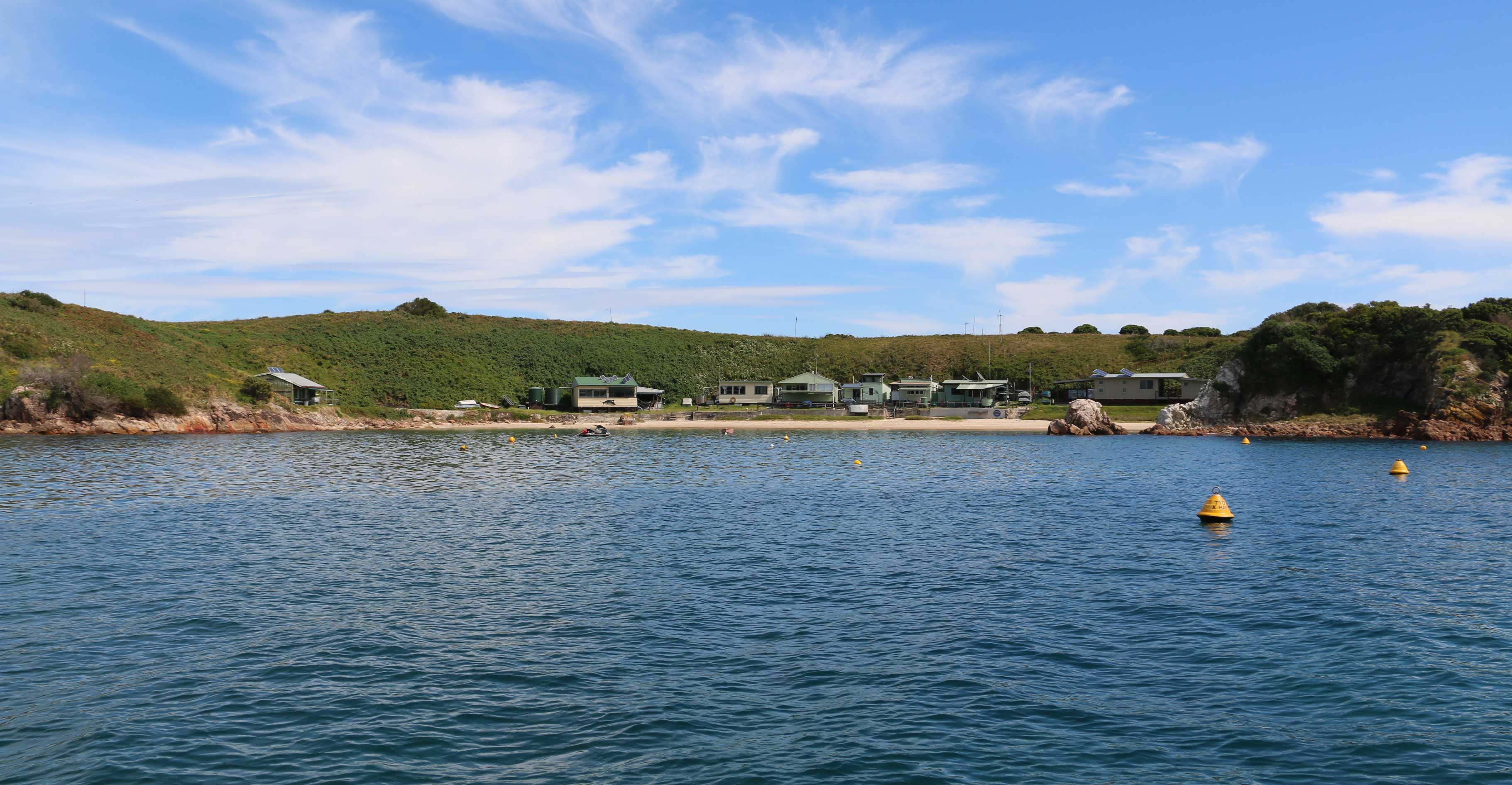
Fishermans huts in Esmeralda Cove, Broughton Island
It is possible to camp on Broughton Island which is the only camping in NSW that is within an active seabird breeding colony. It is a key breeding site for wedge tailed shearwaters (also known as muttonbirds) who rear their young in burrows in the ground. This is also the northern most breeding colony of fairy penguins and they also build burrows underground so you need to be careful where you walk
There are only five campsites on the island and no facilities other than toilets. You will need to bring everything with you, especially your own water. If you want to camp there you must book within 6 months of your intended stay. If you don’t have your own boat there are several boat operators who can provie transport to and from the island. If you want to know more, check out this link which is also a booking link for the campground.
Most of the eastern and south eastern waters around the island are part of the protected marine sanctuary and fishing is not allowed. The water around the island is alive with animals and we saw dolphins, humpback whales and flying fish all in the immediate vicinity of the island. The fishing is said to be excellent with lots of big snapper, whiting, jewfish, flathead, and many other species to be found. There are four zones of the sanctuary, some of which allow fishing, some of which don’t and some that only allow certain types of fishing, ie trolling, or ‘lures only’ so make sure you check your charts which make it clear what you can and can’t do.
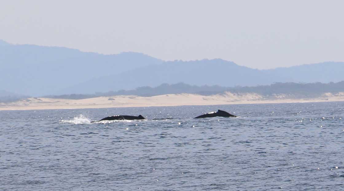
A pair of late season humpback whales on their journey back to the Antarctic
Despite the presence of the small group of fishing shacks, there are no permanent human residents on the island and it is pristine. The water is crystal clear and is ideal for snorkelling or scuba diving. Some of the early settlers on Broughton Island were Greek lobster fisherman and there are still plenty of lobster to be found.
There are many rocky islets and bommies surrounding the island so caution must be taken with the boat, but if you are an explorer you will be well and truly rewarded with empty beaches and exceptionally clear water.
As we made our way back to Port Stephens, the wind was dropping and the water had that oily calm look about it and it was very tempting to turn around and go back to spend the night in Esmeralda Cove except for the bad wind forecast the next day. If you do go out to the island make sure you take plenty of supplies because you may end up having to stay there longer than you anticipated because the offshore sea conditions can change very quickly.
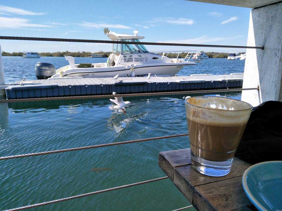
Once back in the Port we decided to refuel and go back to the Myall River to do so more exploring. After a quick fuel top up at the D’Albora Marina in Nelson Bay we slowly worked our way up the river searching for an overnight camp spot which we eventually found at a place called ‘Engels Landing’. Very similar to the Black Oaks camp with a small jetty and the only access is by boat. Once again we had the place to ourselves.
Day 4
We took a day off the next day and just enjoyed the surroundings and the complete peace amongst the river and the bush. We had a perfect spot with plenty of shade under giant paperbarks. We only saw one kayaker and one tinnie pass by for the entire day. The bush here is absolutely impenetrable which enhances the feeling that you are the only person around for hundreds of miles.
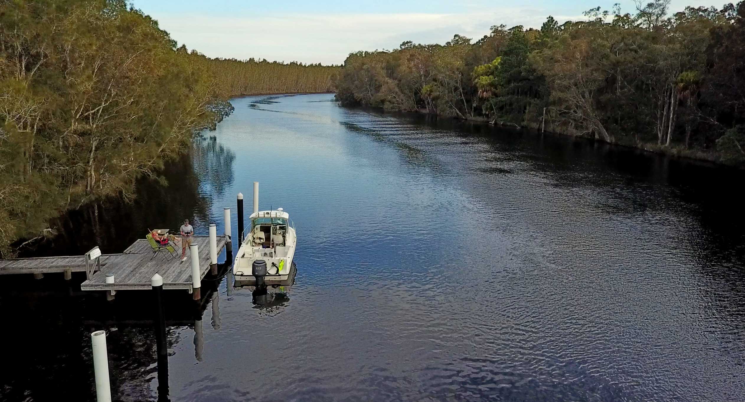
Engels Landing on the Myall River
Time to get back to exploring.
It rained overnight and by the morning the wind was up between 25 and 30 knots. Not ideal weather for exploration in the boat in the Port or even the Myall Lakes so we had a leisurely cruise back down the river to Tea Gardens where we stopped at the Boatshed for breakfast to make a plan for the day. With wind constant at 20 plus knots, and a strong current running past the wharf, it was tricky go get up alongside especially as I was concerned about overshooting the small wharf and ploughing into the boats moored in berths at the end of the wharf. It turned out the best way to get onto the wharf was by backing up to it.
After a couple of coffees and a check of the weather services which showed 30 knot plus winds on the bay, I asked Clarrie the owner of the cafe if we could stay overnight on his jetty beside the café. He was very obliging and for a small $30 fee we also got access to the bathrooms. This gave us a chance to stretch the legs and walk around the pretty little town of Tea Gardens.
After camping on the boat for five days, we made the most of the local pub in town and treated ourselves to a pub meal. Unbeknown to us, it was the weekly trivia night at the pub which made it busy, but the locals were very friendly and we had a great night. It was a bonus to be able to walk one minute away to our bed on the boat.
Day 6
It was about time we had a look at the western end of Port Stephens so we mooched around the south western shore until we got to the little settlement of Lemon Tree Passage which is a narrow and well protected passage running between Bulls Island and the mainland. This is a very popular boating location and there is a very new and well equipped boat ramp there as well as a boat chandlery and boat service business. The village is very small consisting of a couple of take away food shops, a bottle shop, pharmacy, bakery, post office, butcher and a book shop. If you want some serious provisioning, you should go to the Coles Supermarket at nearby Tanilba Bay. (approx.. 4 km)
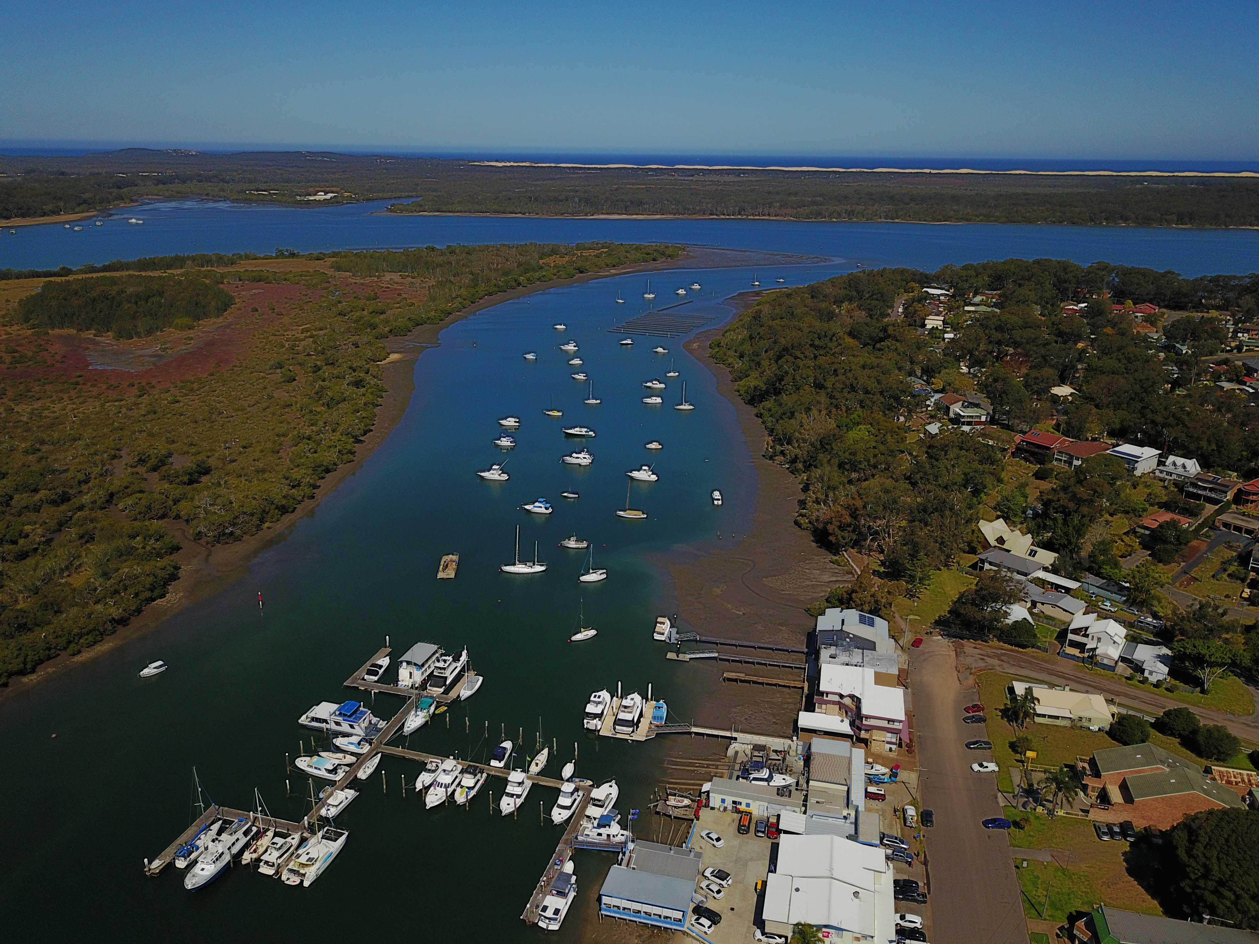
Aerial view of Lemon Tree Passage

Southern entrance to Lemon Tree Passage
Whilst there are no courtesy moorings here, there is a large double arm pontoon and separate pontoon wharf at the boat ramp which has plenty of room to tie up for a little while.
After leaving Lemon Tree Passage we worked our way along the western shore of the port until we got to the Karuah River. The entrance to the Karuah River is at the far western end of Port Stephens and the river runs off the port in a northerly direction towards the town of Karuah and the Karuah bridge. The town was once on the Princes Hwy but has since been bypassed by a newer highway (A1) and it is now a quiet sleepy village. The waterfront on both sides of the river are industrial with plenty of oyster beds and oyster farming businesses.
Possibly the two best attractions to the town are the fresh oysters which are harvested on both sides of the bridge and the unique tidal swimming pool which has been a feature of the town for many years. The town also has a reputation for making fantastic oyster pies! which, sadly, we didn’t know about until after we left.

Swimming baths on the Karuah River, Karuah, Port Stephens, NSW.
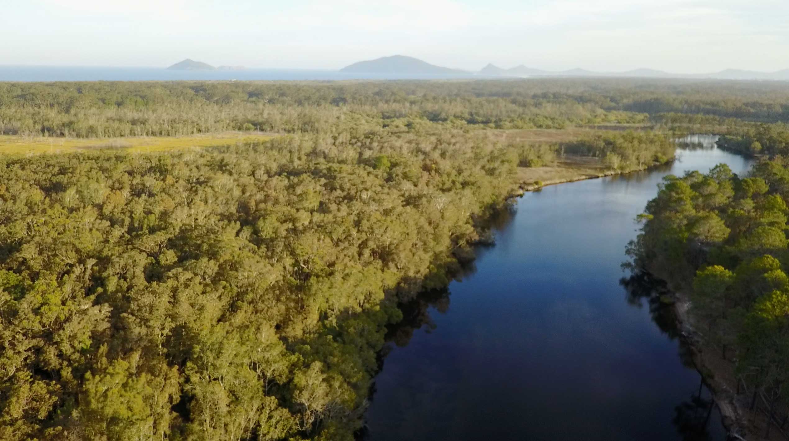
The river is said to be navigable for a further 11 kilometres north of the Karuah bridge as far as the township of Allworth. The river itself is over one hundred kilometres long and travels through the Karuah National Park. We only motored as far north as the new highway bridge but it looks like there is plenty of secluded water to explore further north of the bridge. We were running out of time so we put this piece of exploration on our ‘to do list’ for next time.
We then had one more look at Fame Cove and after finding it full decided we would try the civilised life of overnighting in the Soldiers Point Marina. http://www.soldiersptmarina.com.au/
Not ever having overnighted in a marina we were unsure what to expect but were pleasantly surprised when we got the tour by the manager and learnt that for $65 we had access to lounges, restaurants, very clean and modern bathrooms and even a courtesy car if we needed! Considering this was our last day camping in the boat we thought we would treat ourselves.
We had intended to dine at one of the two restaurants at the marina but we met a lovely couple, Paul and Anna, who invited us onto their boat ‘Bear Necessity’ for drinks and then dinner. Every boater has a story about their boat and it was very interesting and a little bit dangerous listening to people who permanently live aboard a boat like Paul and Anna because I found it was exactly what I wanted to do.
Our little home during our time on Port Stephens
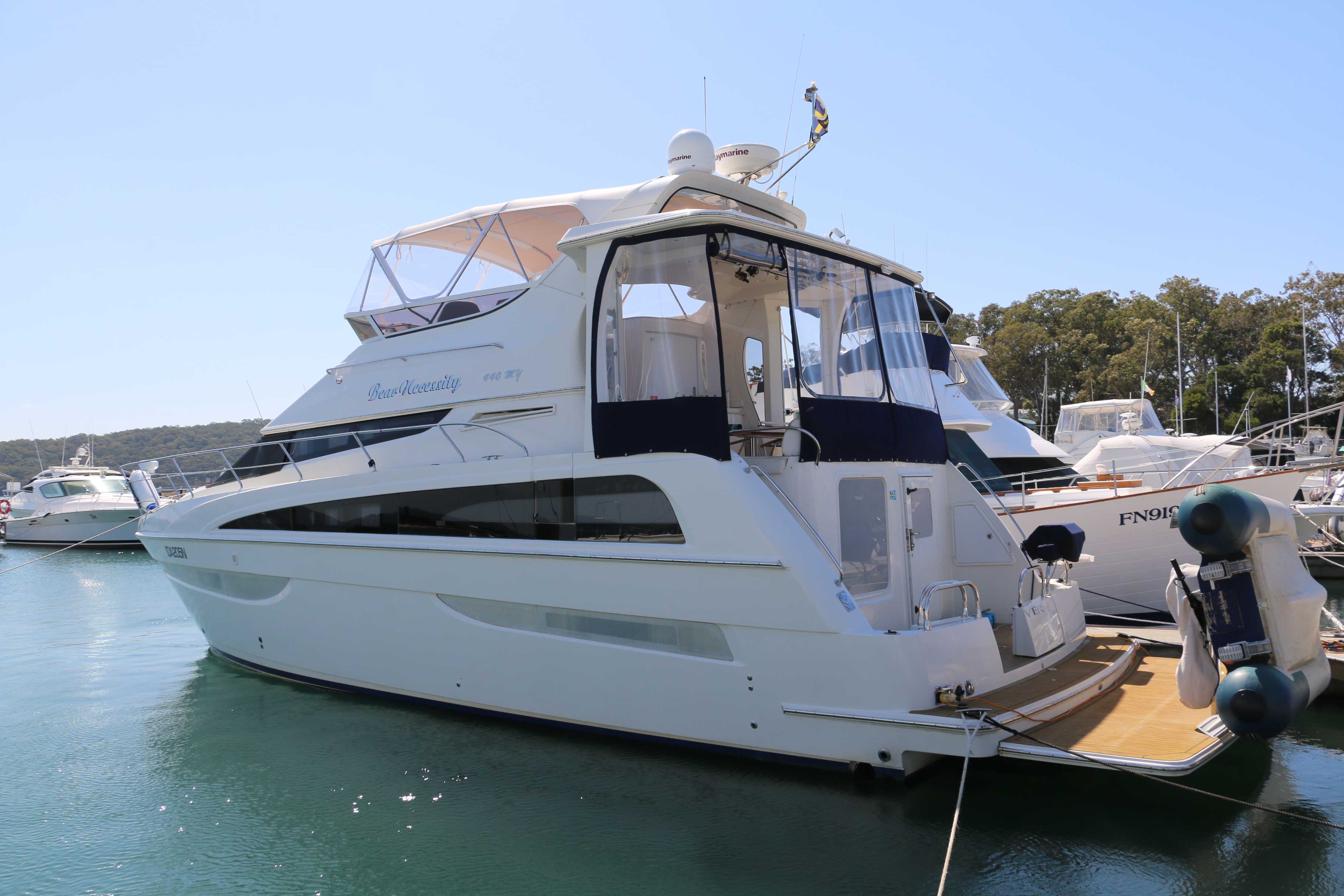
Our future home when we grow up…
What a great way to finish off our little exploration of Port Stephens. Even though we had six days on the water there is still so much to explore. The Myall Lakes are on top of the ‘next time’ list as they were recommended to us so many times that we will have to go back to see them for ourselves.
The rivers, lakes, estuary and offshore boating locations in and around Port Stephens offer extraordinary variety and you will always find somewhere safe to take your boat. Added to that is the fact that the weather is generally very good and the boating infrastructure is great. It is very hard to imagine a better boating location than Port Stephens whether it be for a day trip, or like us, a camping trip over several days.
